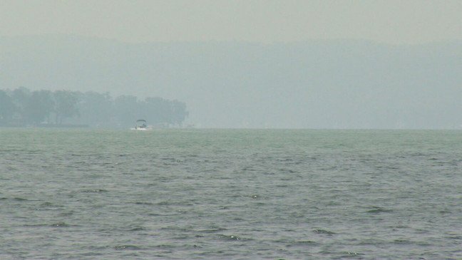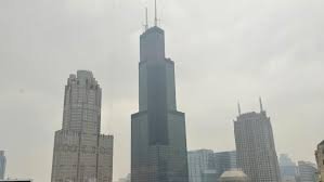
CHICAGO, IL — Residents across the Chicago metro area should prepare for a dramatic shift in weather conditions beginning Wednesday morning, as a strong system moves through with showers, thunderstorms, and a notable 20-degree temperature drop.
According to the National Weather Service (NWS), the storm system is expected to bring an 80% chance of rain and thunderstorms by late Wednesday morning, peaking in strength before 1 p.m. and likely impacting busy routes including I-55 and I-90.
Forecast: From Summer Heat To Spring-Like Chill
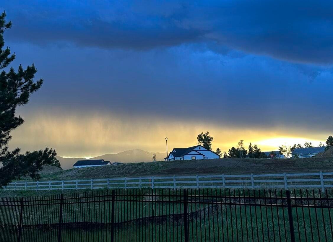
Tuesday’s weather saw highs near 87°F, but by Wednesday afternoon, temperatures are forecast to drop sharply to just 66°F, with gusts up to 15 mph potentially reducing visibility on roads during heavy downpours.
The rain threat continues into Wednesday night, with a 30% chance of additional showers before 10 p.m., especially affecting the evening commute. Winds will shift from southwest to northeast, increasing the potential for travel disruption, particularly for high-profile vehicles.
What To Expect Next
- Thursday (June 5): Sunny, high near 65°F
- Friday (June 6): More rain likely, high near 63°F
- Saturday (June 7): Sunshine returns, high near 63°F
The system may linger into the weekend, keeping overall conditions cooler than average for early June across the region.
Safety Precautions For Residents
Authorities recommend taking the following steps:
- Charge electronic devices in case of power outages
- Avoid driving through standing water, especially near underpasses
- Secure outdoor furniture and clear storm drains ahead of the storm
- Stay alert to local alerts via NOAA Weather Radio or weather.gov
Urban areas may see temporary storm drain backups, especially during heavy bursts of rainfall.
Are you seeing localized flooding or storm impacts in your neighborhood? Let us know how the storm is affecting your area — and how your community is staying weather-ready this week.
Sources:
- National Weather Service — www.weather.gov