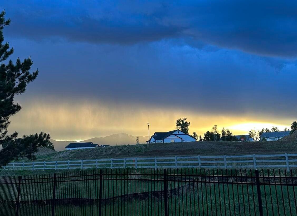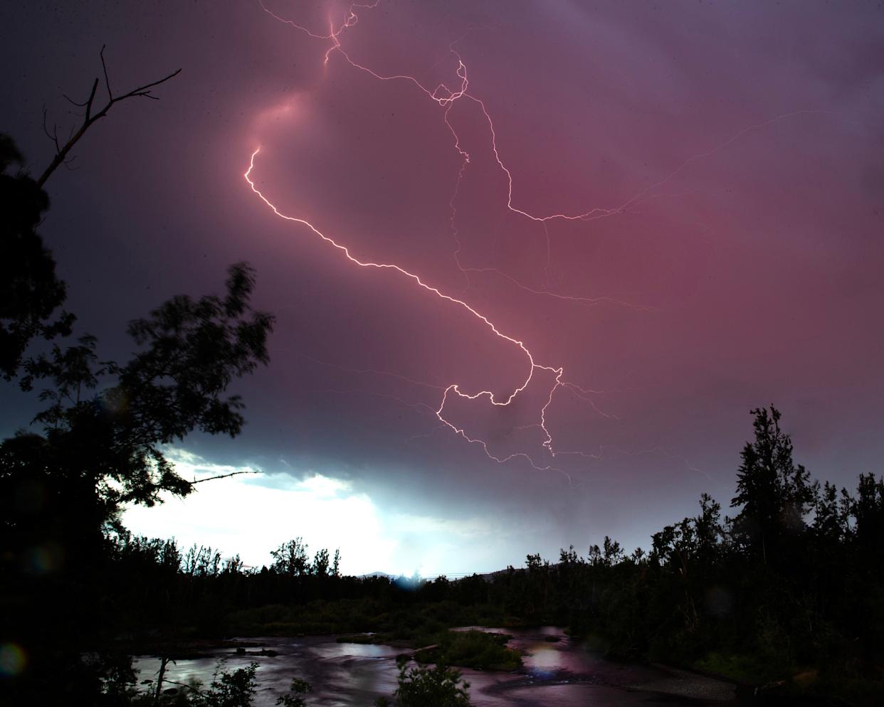
CHICAGO — Parts of the Chicago area are under a severe thunderstorm watch Tuesday night, as powerful storms are expected to bring wind gusts up to 60 miles per hour, heavy rainfall, and a small tornado risk, according to the National Weather Service and NBC 5 Storm Team.
Counties Under Watch
The storm watch is active through 11 p.m. for several counties, including:
- DeKalb
- LaSalle
- Boone
- Initially issued for western Illinois, the alert expanded as storms moved northeast
Severe thunderstorm warnings were also issued for northwestern LaSalle County, Lee County, and Ogle County through 9:15 p.m., with storm cells moving at 55 mph from Fulton to Tampico.
Communities In the Path
Areas likely to be impacted include:
- Franklin Grove
- Mount Morris
- Byron Leaf
- Davis Junction
The storms could produce tornadoes, alongside damaging winds and torrential rain. Earlier in the day, McHenry and Lake Counties experienced severe gusts that knocked out power for over 4,000 residents, as noted by NBC Chicago.
Storm Details & Forecast Timing
According to the Storm Prediction Center, much of the Chicago area was classified under a “marginal” risk for severe weather. Risks include:
- Damaging winds up to 60 mph
- Localized hail
- Non-zero tornado potential
- Flash flooding in urban areas
Showers were expected to build into Tuesday evening, with the main line of strong-to-severe thunderstorms hitting late Tuesday night into Wednesday morning, especially west of the city.
Counties With Greatest Risk
According to the SPC Day 2 Outlook, counties at higher risk include:
- McHenry, Lake, DeKalb, Kane, DuPage, Cook
- LaSalle, Kendall, Grundy, Will
- Areas in Kankakee County and parts of northwest Indiana may also be impacted.
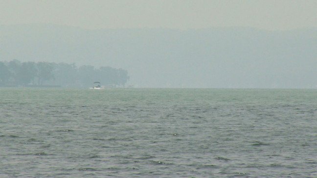
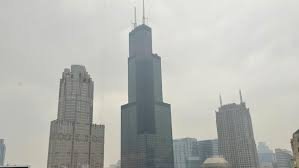
Relief From Wildfire Smoke
While storms bring risks, they also offer temporary relief from Canadian wildfire smoke that’s affected the region. Forecast models suggest skies may clear after the front moves through, but smoke could return in the days ahead.
High temperatures Tuesday topped into the upper-80s with high humidity. A cooler pattern will follow, with highs in the 70s expected midweek.
Have you experienced power outages or storm damage in your area? How is your neighborhood preparing for severe weather? Let us know in the comments below.
Stay with ChicagoSuburbanFamily.com for the latest local weather alerts, storm coverage, and safety updates.