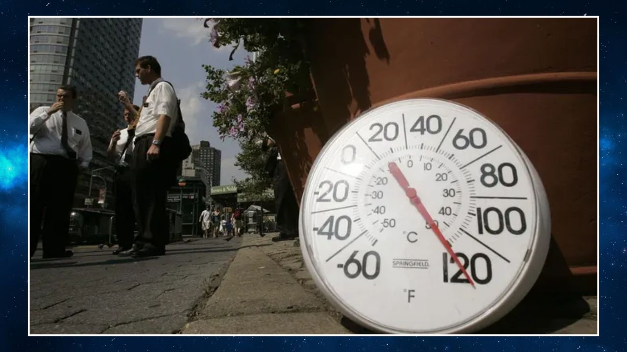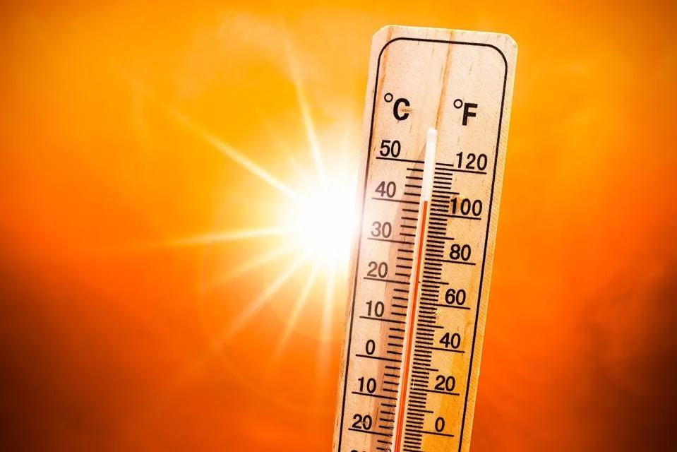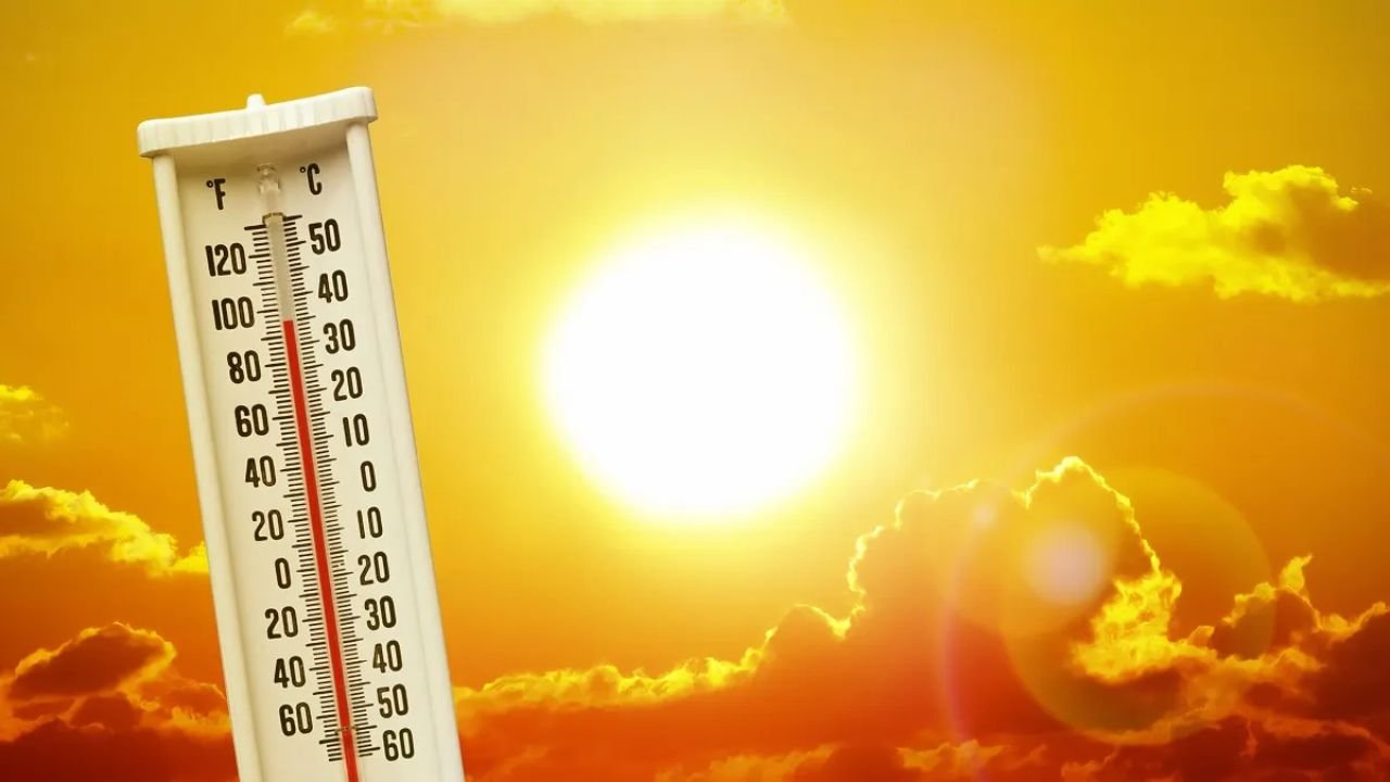
CHICAGO — After days of warm-up, Wednesday brings the peak of the heat wave across the Chicagoland area, with highs expected to reach near 90°F and sunshine dominating most of the day, according to CBS2 meteorologists.
However, residents should prepare for shifting weather patterns late Wednesday, as a low-pressure system brings a chance of showers and isolated thunderstorms by nightfall.
The hazy skyline, which has become a familiar sight due to drifting Canadian wildfire smoke, is likely to persist through Thursday.
7-Day Forecast for Chicago Area
Wednesday: Sunny and hot with isolated storm chances late
-
High: 90°F | Low: 65°F
Thursday: Mild cooldown with scattered storm potential
-
High: 81°F | Low: 65°F
Friday: Storms more likely, increased humidity
-
High: 83°F | Low: 65°F
Saturday: Cloudier skies with scattered showers
-
High: 75°F | Low: 59°F
Sunday: Slightly cooler by the lakefront
-
High: 74°F | Low: 62°F
Monday: Isolated thunderstorms possible again
-
High: 82°F | Low: 66°F
Tuesday: Thunderstorm pattern continues
-
High: 85°F | Low: 66°F
Watch for Wildfire Haze and Air Quality Shifts
While temperatures take a dip heading into the weekend, the air quality may continue to fluctuate due to the ongoing impact of Canadian wildfire smoke. Sensitive groups — including children, the elderly, and those with respiratory issues — should monitor local air quality alerts and limit extended outdoor activity during haze-heavy hours.
Meteorologist Albert Ramon, who leads the First Alert Weather Team at CBS2, said the cooldown after Wednesday is tied to a passing system that may also spark scattered rain showers throughout the region starting late Thursday.
What’s Your Weather Go-To in the Heat?
Do you stay indoors, head to the lake, or have tips for managing outdoor plans during smoky skies? Tell us in the comments at ChicagoSuburbanFamily.com.