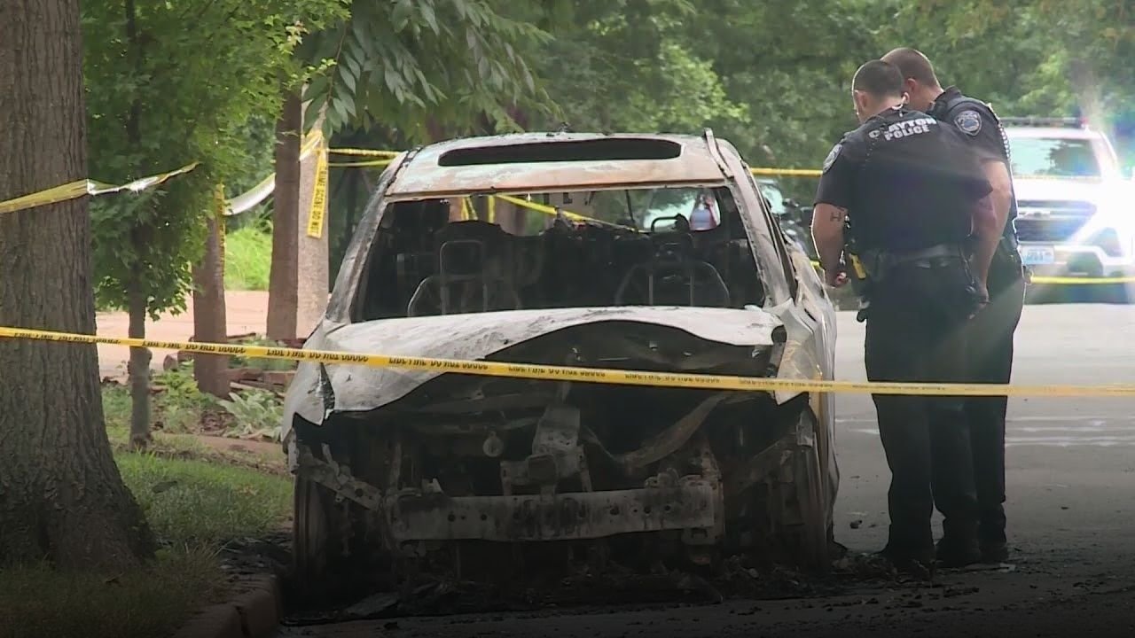
ILLINOIS — A round of scattered severe thunderstorms swept across parts of Northern Illinois on Tuesday evening, prompting warnings and raising concerns over flooding and storm damage.
Storm Impact Across La Salle and Livingston Counties
The Severe Thunderstorm Warning, which covered sections of La Salle and Livingston counties, was in effect until 7 p.m. on June 24. The storm system carried wind gusts reaching 60 miles per hour and dropped penny-sized hail across affected areas.
Communities including Streator, Leonore, Kangley, Grand Ridge, and Marseilles were in the path of the storm, which moved slowly and brought the threat of rapid rainfall. Weather officials warned that nearly an inch of rain could fall in a short time, creating hazardous driving and flooding conditions.
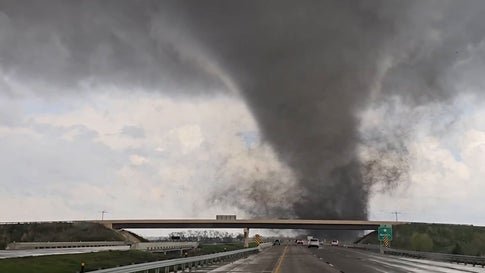
Risk of Tornadoes and Lightning Adds to Concerns
Meteorologists also flagged the potential for tornado formation, though no confirmed touchdowns were reported as of Tuesday night. The storms brought with them dangerous lightning and high winds, adding to concerns for residents and emergency response teams.
The report by CBS Chicago confirmed that while scattered storms persisted through the evening, none reached severe status after the warning expired.
Rain and Storms Expected to Continue
Weather officials noted that smaller storm systems also formed in nearby Jasper County, Indiana, suggesting a broader weather pattern affecting the region. Forecasters predict that scattered showers and thunderstorms will continue overnight and into Wednesday morning.
The unsettled weather is expected to linger, with daily chances of rain and storms through the end of the work week. Residents should prepare for additional periods of heavy rainfall, gusty winds over 50 mph, and frequent lightning.
Have you experienced flooding or damage from Tuesday night’s storms? Share your story or tips for preparing for severe weather at ChicagoSuburbanFamily.com.