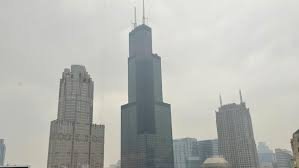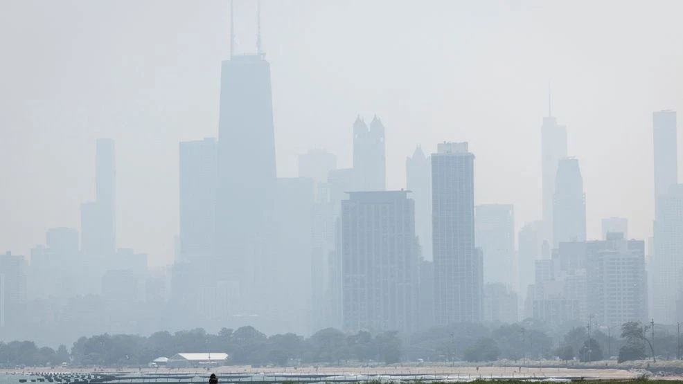
CHICAGO — A new band of slow-moving storms has begun forming to the west of Chicago, prompting forecasters to warn of a potential flooding risk as the system creeps eastward across northern Illinois.
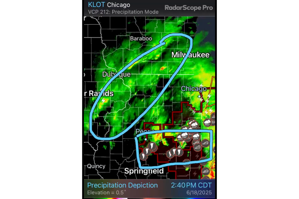
According to radar imagery analyzed at 2:30 p.m. CDT on June 18, the rain-heavy zone is organizing across eastern Iowa, northwest Illinois, and southern Wisconsin, with precipitation intensifying near cities like Dubuque, Baraboo, and Milwaukee.
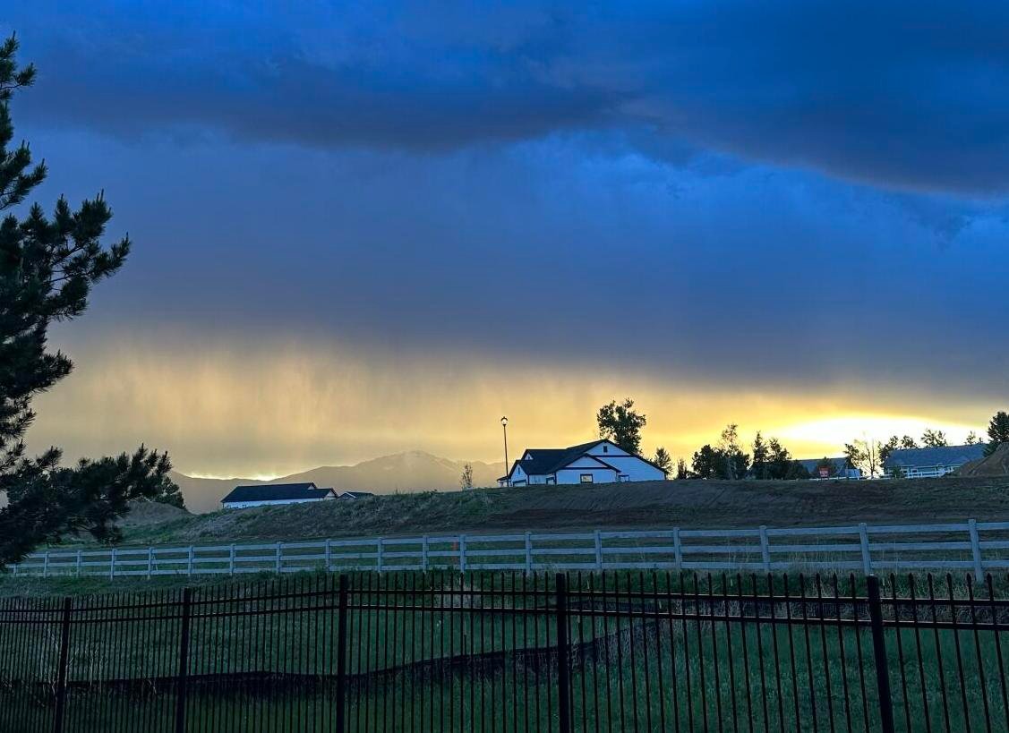
This system is moving slowly along the backside of a pressure gradient/front, which forecasters say could lead to locally heavy rainfall totals that may overwhelm low-lying drainage systems and urban infrastructure.
Key Areas Under Flood Risk
The circled zone on radar shows a concentration of green and yellow bands — indicating moderate to heavy rain. This zone stretches from Cedar Rapids through Dubuque and Milwaukee, potentially reaching Chicago as the low-pressure center pivots eastward.
Residents in western and north-central Illinois are being advised to:
-
Monitor hourly rainfall updates
-
Avoid driving through standing water
-
Clear storm drains where possible
-
Prepare for possible water accumulation in basements or roadways
Severe Storms Stay South of the City
While Chicago faces a rising flooding threat, the boxed region on radar highlights a separate area experiencing severe thunderstorms, including hail, high winds, and isolated tornado warnings.
This region spans from Peoria to Springfield, where lightning clusters and weather warnings are actively being tracked. Tornado and thunderstorm icons on the radar suggest enhanced instability in southern Illinois.
At this time, there are no severe storm warnings for Chicago or the northern suburbs, though localized flooding may still pose challenges.
Read More: Illinois Launches New ‘Direct Admissions’ Law to Simplify College Process for Students
Forecast Moving Forward
The slow speed of the advancing rain system means that precipitation may linger through the evening, particularly for areas west of the city. Chicagoans can expect:
-
Intermittent rainfall through the night
-
A possible uptick in ponding and standing water
-
Cooler temperatures due to cloud cover
Officials have not issued a flash flood warning for Cook County as of now, but local agencies are monitoring the situation closely.
Have you experienced flooding near your neighborhood during recent storms? Share your photos or updates on ChicagoSuburbanFamily.com to help keep others informed.