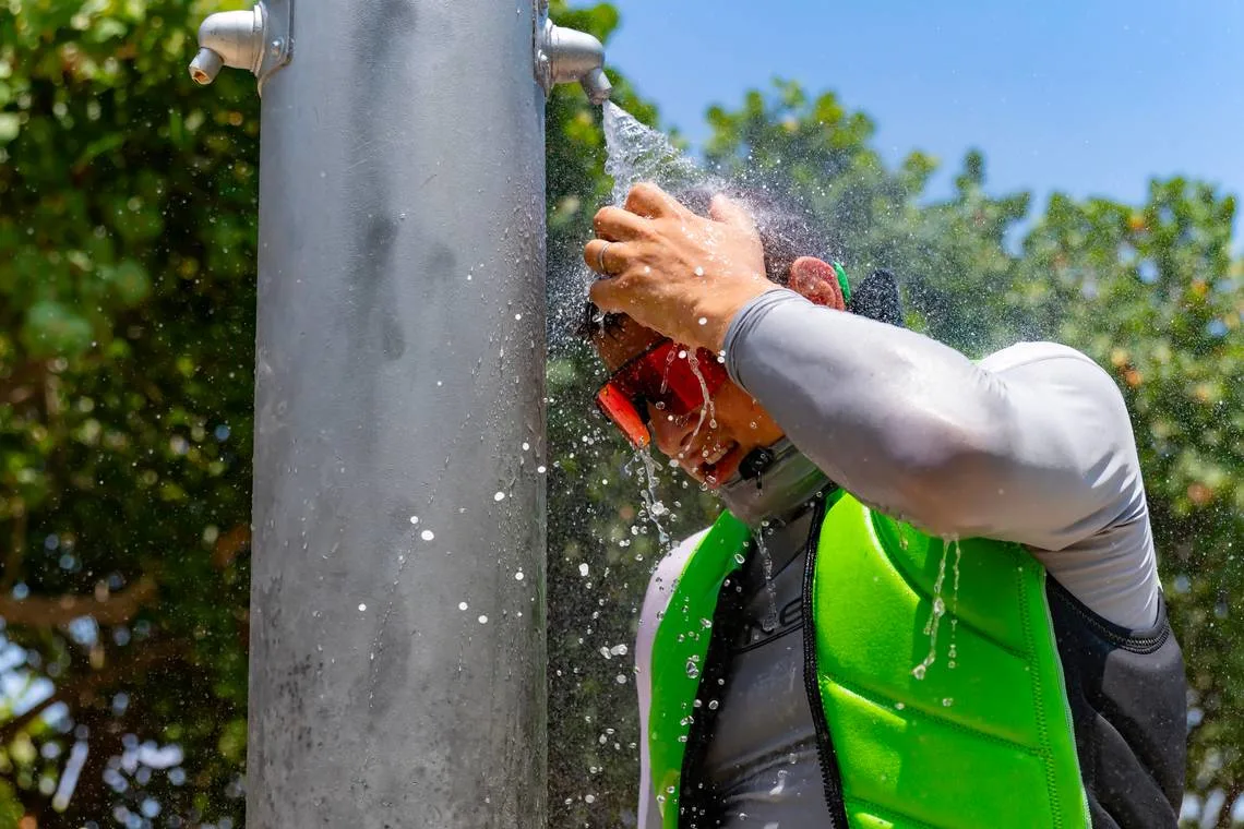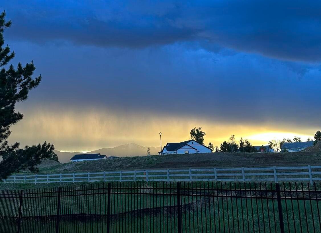
CHICAGO — After a week of intense heat and widespread storms, residents in the Chicago area are finally catching a break. Cooler temperatures and sunshine have returned, bringing relief to a region that saw heavy rainfall Wednesday, especially around the Kankakee River Valley.
According to FOX 32 Meteorologist Mike Caplan, rainfall in the Kankakee area reached between 2 and 4.5 inches, drenching southern parts of the region before the skies began to clear.
Today’s Forecast: Mild and Breezy
Thursday morning started with a few light rain showers and patches of drizzle, but the trend quickly shifted. As the day progressed, northeast winds helped push in lower humidity and much cooler temperatures.
- Highs are expected to top out in the low to mid-70s, with the coolest readings along the lakefront.
- Tonight, skies will remain mostly clear and conditions will be pleasantly mild, with overnight lows between 60 and 65 degrees.
Looking Ahead: Ideal Weekend Weather
Chicagoans can look forward to a picture-perfect weekend. The forecast calls for:
- Friday: Mostly sunny skies with highs in the upper 70s.
- Saturday and Sunday: Plenty of sunshine with highs in the low to mid-80s, making it ideal for outdoor events, lakefront strolls, or summer festivals across the suburbs.
Next Week: Slight Warm-Up and Wildfire Smoke Concerns
While the heat won’t make an aggressive return, temperatures are expected to edge upward slightly next week. The next chance of rain arrives Tuesday, but until then, skies should remain mostly dry.
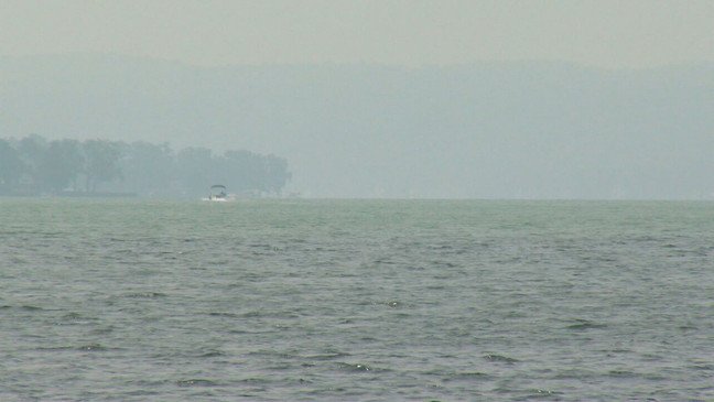
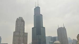
However, residents should be aware that wildfire smoke could impact air quality over the coming days. While previous plumes mainly originated from Canada, new smoke is also drifting in from wildfires in the western U.S.
Have you noticed the wildfire haze in your neighborhood, or are you enjoying the sudden cool-down? Share your weather snapshots or weekend plans in the comments on ChicagoSuburbanFamily.com!