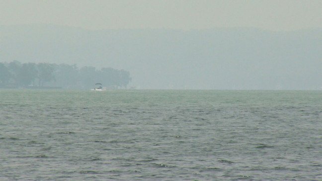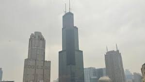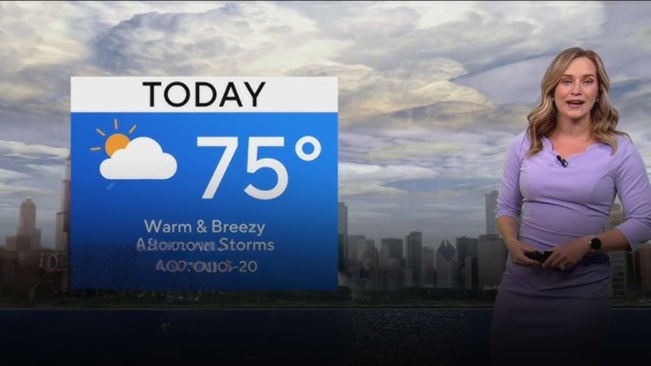
CHICAGO — Monday afternoon is bringing scattered showers and thunderstorms to the city and surrounding suburbs, marking a brief cooldown before temperatures spike later in the week.
Gusty Winds and Hail Possible in Some Areas
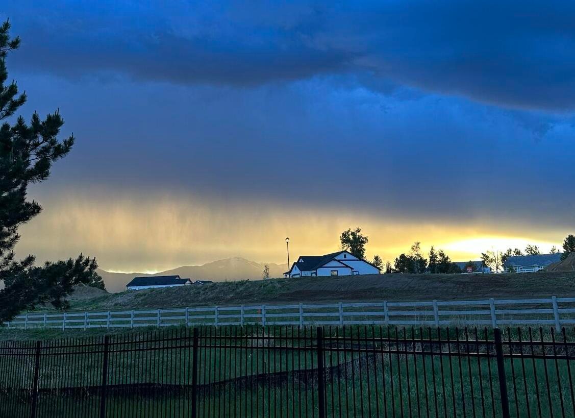
Afternoon storms could intensify, especially in parts of Northwest Indiana, where gusty winds and hail are expected to be the main threats.
The system is part of a broader unsettled weather pattern impacting the region as temperatures rise into the mid-70s for the day.
Chicago’s 7-Day Weather Outlook
Here’s what to expect for the rest of the week, per the First Alert Weather Team:
-
Monday: Scattered storms, High: 75°F, Low: 55°F
-
Tuesday: Partly cloudy skies, High: 78°F, Low: 62°F
-
Wednesday: Sunny and breezy, High: 90°F, Low: 65°F
-
Thursday: Storms possible, High: 80°F, Low: 60°F
-
Friday: Showers and storms, High: 78°F, Low: 63°F
-
Saturday: Cooler near the lake, High: 75°F, Low: 64°F
-
Sunday: Lakeside temps stay mild, High: 73°F, Low: 61°F
Localized Radar and Regional Coverage
To track incoming storms in real-time, you can view the live radar breakdown by area:
For broader context, regional radar and satellite data are also available via CBS2’s First Alert Weather team.
What are the conditions in your neighborhood? Have you experienced hail or power outages? Drop a comment below or tag us at ChicagoSuburbanFamily.com with photos from your area.