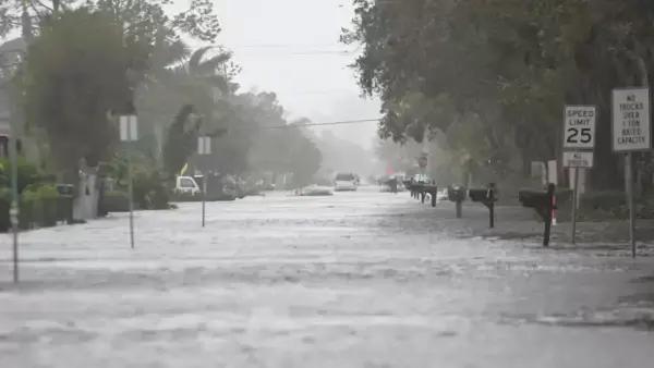
DES MOINES, IOWA – A flash flood warning has been issued for parts of central Iowa, impacting several major metro areas including Des Moines, West Des Moines, Urbandale, Clive, Norwalk, and Windsor Heights. The warning is in effect until 1:30 a.m. Monday, following heavy evening rainfall.
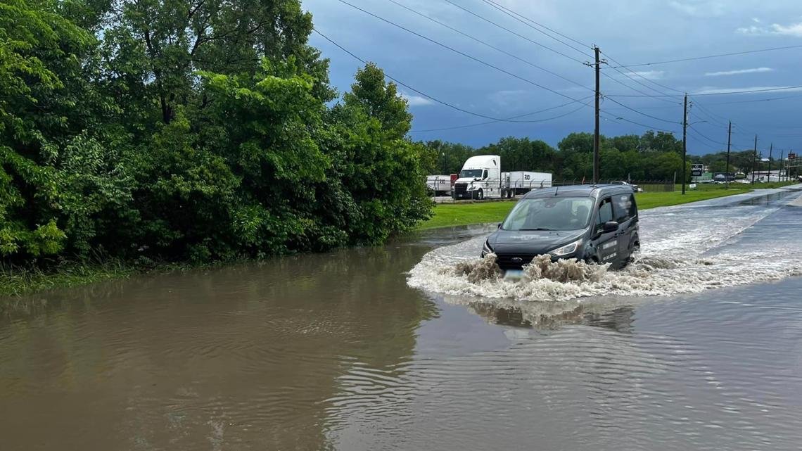
Des Moines police reported multiple road closures by 8 p.m. Sunday, especially in areas east of 63rd Street, between Park Avenue and Tonka Avenue, where floodwaters rendered roads impassable.
Residents are being strongly advised to avoid driving through flooded roadways. The Des Moines Police Department emphasized that half of all flash flooding deaths occur when drivers attempt to cross water-covered roads.
“Don’t drive through flooded roadways! #TurnAroundDontDrown,” the department posted to social media, reinforcing the urgency of avoiding unsafe travel.
Monday Forecast: Scattered Storms Possible, Then Rapid Heat Rise
While widespread rainfall is not expected overnight, forecasters say there’s still a low chance of isolated storms into Monday morning, especially in far southern or far northern Iowa. Most of the state should remain cloudy and warm overnight.
By Monday afternoon, temperatures will climb into the upper 80s, with feels-like temperatures reaching up to 110°F by midweek. According to KCCI, the heat index values on Tuesday and Wednesday could make conditions dangerous, particularly for vulnerable populations.
Extended Outlook: Heat Continues, Then More Storms Possible
The high-pressure ridge currently impacting the Midwest will keep conditions hot and humid through Thursday, unless more thunderstorms develop earlier than expected.
A frontal boundary is expected to move through late week, increasing chances for rain on Thursday, Friday, and Saturday, before another hotter pattern returns early next week.
Have you seen flash flooding affect your neighborhood or commute in Iowa? Share your story or preparedness tips at ChicagoSuburbanFamily.com to help others stay safe.