Illinois Severe Weather Alert: Damaging Winds and Heavy Rain Target Dixon to Morris Area Friday Evening
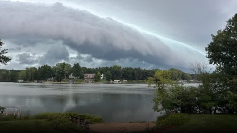
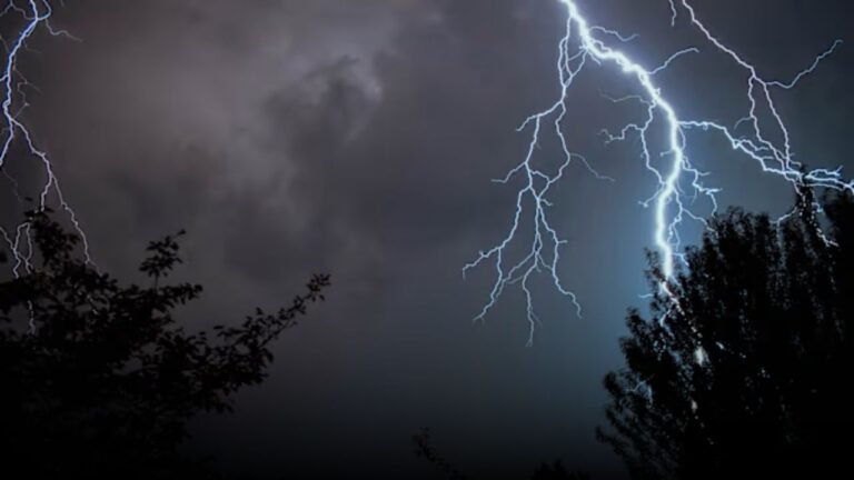
CHICAGO — A fast-moving line of strong to severe thunderstorms is sweeping into northwest Illinois this evening, bringing threats of damaging wind gusts, frequent lightning, and heavy downpours from Dixon to Morris.
Strong Storms Expected Along Dixon-to-Morris Corridor
The National Weather Service in Chicago has warned that storms will continue tracking east-southeast through 9 p.m. Friday night. The most severe weather is expected southwest of the Dixon-to-Morris line, where wind gusts could reach levels strong enough to topple trees and power lines.
Storm Risk Extends Into the Chicago Metro Area
While the core danger zone lies in northwest Illinois, areas northeast, including Rockford and some parts of the Chicago metro, are also under moderate risk for gusty winds, lightning, and flash flooding. The yellow zone on the risk map indicates highest potential for damaging winds, while surrounding green-shaded areas could still see significant rainfall and frequent lightning strikes.
Highway Drivers Urged to Stay Alert
Those traveling along I-39, I-80, and nearby roadways should be cautious. Officials warn of reduced visibility due to downpours and possible debris in roadways. Drivers are urged to avoid flooded roads and secure loose outdoor items before storms hit.
Additional Storm Threats This Weekend
While tonight’s storms are expected to clear overnight, unsettled weather may persist into the weekend. More alerts or warnings could be issued if conditions intensify across northern and central Illinois.
Residents across the region are urged to move indoors at the first sign of thunder, charge devices in case of power outages, and monitor local weather updates throughout the evening.
Have storms already hit your neighborhood? Share photos or updates from your area — we’re tracking community impact across Illinois at ChicagoSuburbanFamily.com.