
Nashville Weather: Triple-Digit Heat Returns Tuesday with Storm Chances Midweek
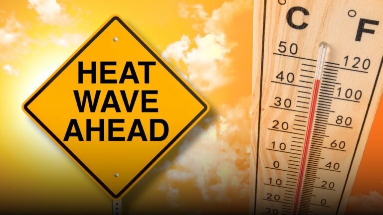
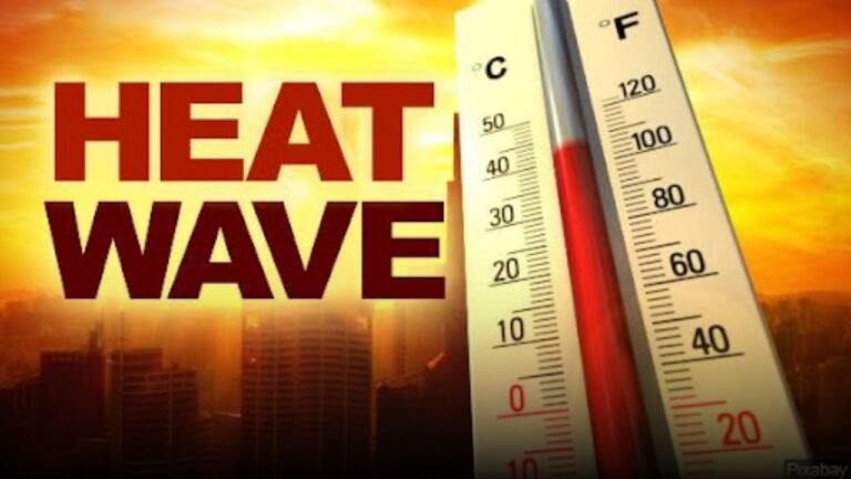
NASHVILLE, Tenn. — Residents across Middle Tennessee are facing another dangerous heat wave as temperatures surge toward 100°F, with a heat index soaring up to 109°F expected through Tuesday. According to the National Weather Service in Nashville, this stretch of oppressive heat is among the most severe of the summer, putting vulnerable populations at risk.
Intense Heat Blankets Davidson and Surrounding Counties
Triple-digit temperatures are forecast to dominate the early week weather pattern. Sunday’s high is expected to reach 99°F, climbing to 100°F by Tuesday, with nighttime lows offering minimal relief in the mid-70s.
Northeast winds may bring light breeze, but it won’t be enough to counteract the high humidity levels in Davidson, Williamson, and neighboring counties. The heat index values between 107–109°F mean that outdoor activity during the afternoon hours could become extremely risky.
Cooling Centers Open Across Nashville Metro
Residents in Nashville, Murfreesboro, and Clarksville are strongly encouraged to avoid strenuous work during peak heat, remain hydrated, and take breaks in shaded or air-conditioned areas. Local officials have confirmed that cooling centers remain open for those without access to reliable indoor cooling options.
Drivers are also reminded to check their vehicles for overheating risks, as high temperatures may strain engines and increase the chance of breakdowns.
Storm Chances Rising by Tuesday Night
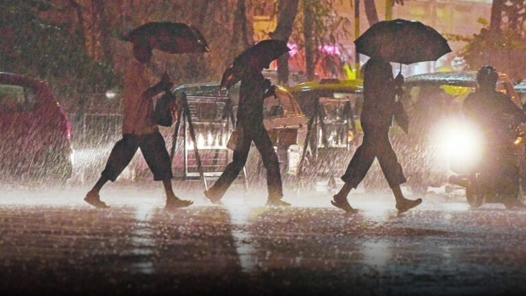
Relief may come in the form of rain, as storm chances increase starting Tuesday night. The National Weather Service forecasts a 20% chance of thunderstorms Tuesday evening, with storm activity likely increasing on Wednesday. The highest threat will be heavy downpours and lightning, particularly during afternoon commutes along I-40 and I-65 corridors.
If conditions intensify, additional advisories could be issued for both heat and severe weather threats.
Five-Day Forecast for Nashville
- Sunday: Sunny and hot, high near 99°F. Heat index up to 109°F.
- Monday: Sunny, high near 98°F. Heat index up to 107°F.
- Tuesday: Sunny and hot, high near 100°F. Storm chance late evening.
- Wednesday: High near 98°F with 40% chance of afternoon storms.
- Thursday: Partly sunny, high near 91°F with scattered storms.
Have you taken heat safety precautions this week? Share your cooling strategies and stay weather-aware with us at ChicagoSuburbanFamily.com. Your tips could help others stay safe during this extreme heatwave.