CHICAGO, ILLINOIS — As the weekend approaches, Northern Illinois residents are being urged to stay weather-aware as storm conditions may disrupt plans, especially Sunday afternoon.
Breezy winds and a gradual uptick in thunderstorm risk are expected to take hold, primarily affecting communities northwest of I-55 by late Sunday, according to the National Weather Service (NWS) Chicago.
Forecast Breakdown:
Mild Temperatures to Start the Weekend
Friday and Saturday will remain mostly dry with highs in the low-to-upper 70s, depending on how close you are to Lake Michigan. Scattered showers could roll in Saturday afternoon, especially for areas south of I-80.
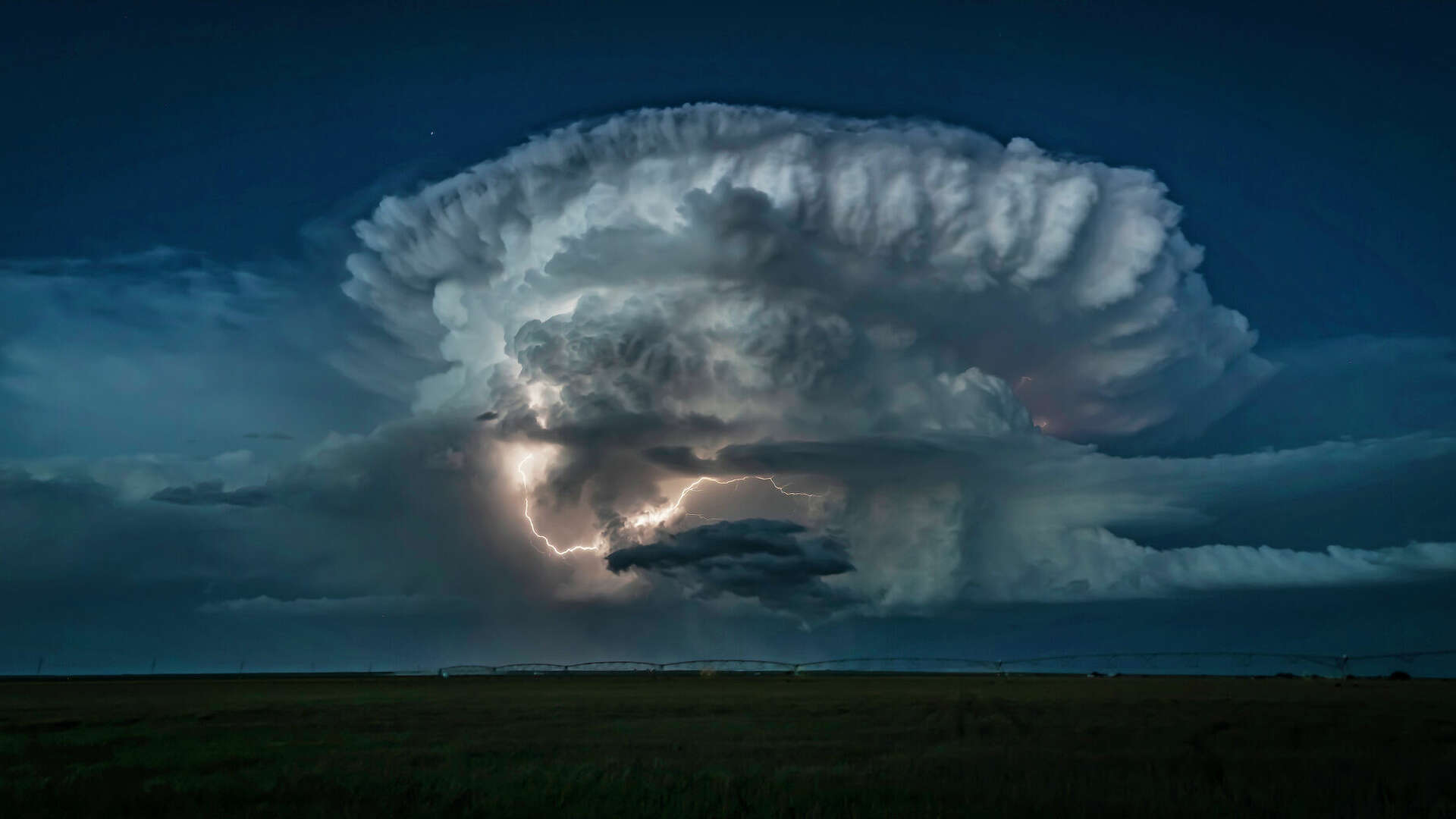
Thunderstorm Threat Increases on Sunday
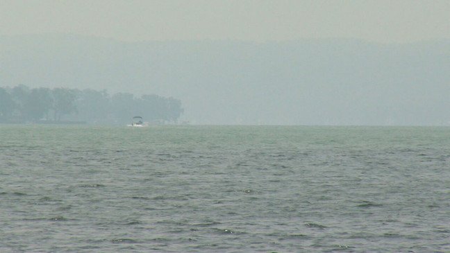
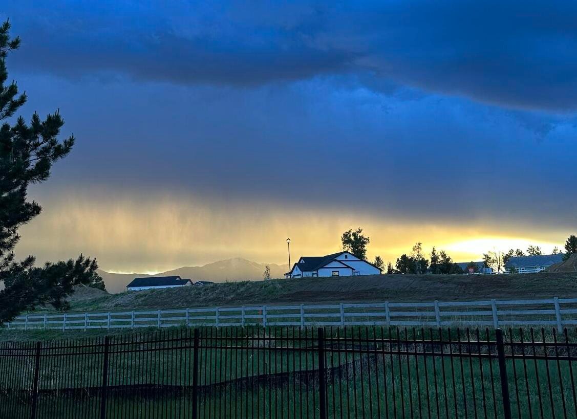
Sunday is shaping up to be the most active weather day, with a heightened risk of scattered thunderstorms across McHenry, DeKalb, and parts of northwest Cook County. The NWS notes this system could create localized flooding, brief gusty winds, and lightning hazards.
Travel Impact & Safety Tips:
Drivers Should Use Caution
Key routes like I-55 and I-88 may experience reduced visibility, slick surfaces, and intermittent downpours by late Sunday and again Monday afternoon.
Temperature Variations Expected
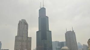
While inland temperatures could approach 79°F, cooler air from Lake Michigan will keep Chicago’s core neighborhoods in the low 60s to upper 60s range.
Residents Advised to Prepare
The public is encouraged to:
- Secure loose outdoor items
- Avoid unnecessary travel during peak storm hours
- Remain alert near open fields or bodies of water, where lightning activity may be more intense
Extended Outlook:
Storm activity may linger into Monday, with another significant weather system likely to push through by midweek.
What Are You Seeing in Your Area?
Are you noticing early signs of storm activity or flooding issues? Let us know how the weekend weather is impacting your plans across Northern Illinois in the comments below or tag us with your updates.