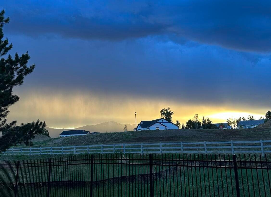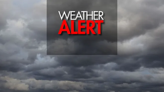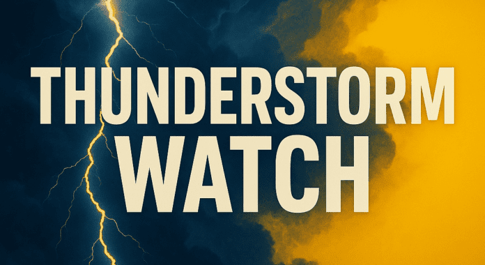
NORTHWEST IOWA — A Severe Thunderstorm Watch has been issued across multiple counties in northwest Iowa as meteorologists warn of strong to damaging winds, large hail, and isolated tornado potential through early Tuesday morning.
The National Weather Service (NWS) issued the alert Monday afternoon, cautioning residents in impacted regions to prepare for fast-moving storms capable of producing wind gusts up to 70 mph and quarter-sized hail. The weather threat is part of a broader storm system impacting parts of the Midwest.
Which Areas Are Impacted?
As of the latest update, the watch includes these Iowa counties:
- Lyon
- Sioux
- O’Brien
- Osceola
- Cherokee
- Plymouth
- Clay
- Dickinson
- Buena Vista
The NWS said storms would develop Monday evening and carry into the overnight hours, with the most dangerous impacts expected before sunrise Tuesday.
What Kind of Damage is Possible?
According to the NWS, storms could bring:
- Wind gusts up to 70 mph, capable of uprooting trees and damaging power lines.
- Hail up to 1 inch in diameter, with potential to damage vehicles and property.
- Lightning and flash flooding, especially in low-lying or poorly drained areas.
- Isolated tornadoes, although risk remains lower than primary wind threats.
Officials are advising residents to secure outdoor objects, charge devices, and have multiple ways to receive weather alerts — especially overnight.
“We encourage all Iowans in the affected areas to monitor weather radios, local news outlets, and the NWS for evolving alerts. Preparedness is key,” the NWS said in a statement.
Past Storm Patterns & Context
This warning follows a month of volatile spring weather across the Midwest, including derecho winds, hail-producing storms, and localized flash flooding. Just last week, parts of Iowa saw 60+ mph winds and downed trees due to a similar system.
May and June historically mark the peak of severe weather activity in Iowa, particularly in the northwest quadrant, which borders South Dakota and Minnesota — areas often hit by early-summer convective systems.
How to Stay Safe Overnight
Residents are urged to:
- Stay indoors once warnings are issued.
- Keep mobile phones fully charged.
- Use apps like FEMA, AccuWeather, or NWS Mobile for live alerts.
- Avoid windows and move to interior rooms if warnings escalate.
Local emergency management teams across northwest Iowa have activated storm response coordination, ready to address outages or road closures if needed.
What’s Next?
The watch will remain in effect through early Tuesday, with the NWS expected to issue additional updates as radar signatures evolve overnight. Tuesday morning may also bring lingering showers and breezy conditions, but the severe threat is expected to taper by mid-morning.
Are you currently in the affected area? Have you taken any storm precautions? Let us know in the comments how you’re preparing for the overnight threat or if you’ve seen storm damage already.
Stay with ChicagoSuburbanFamily.com for continued updates on weather alerts, emergency warnings, and Midwest storm coverage.