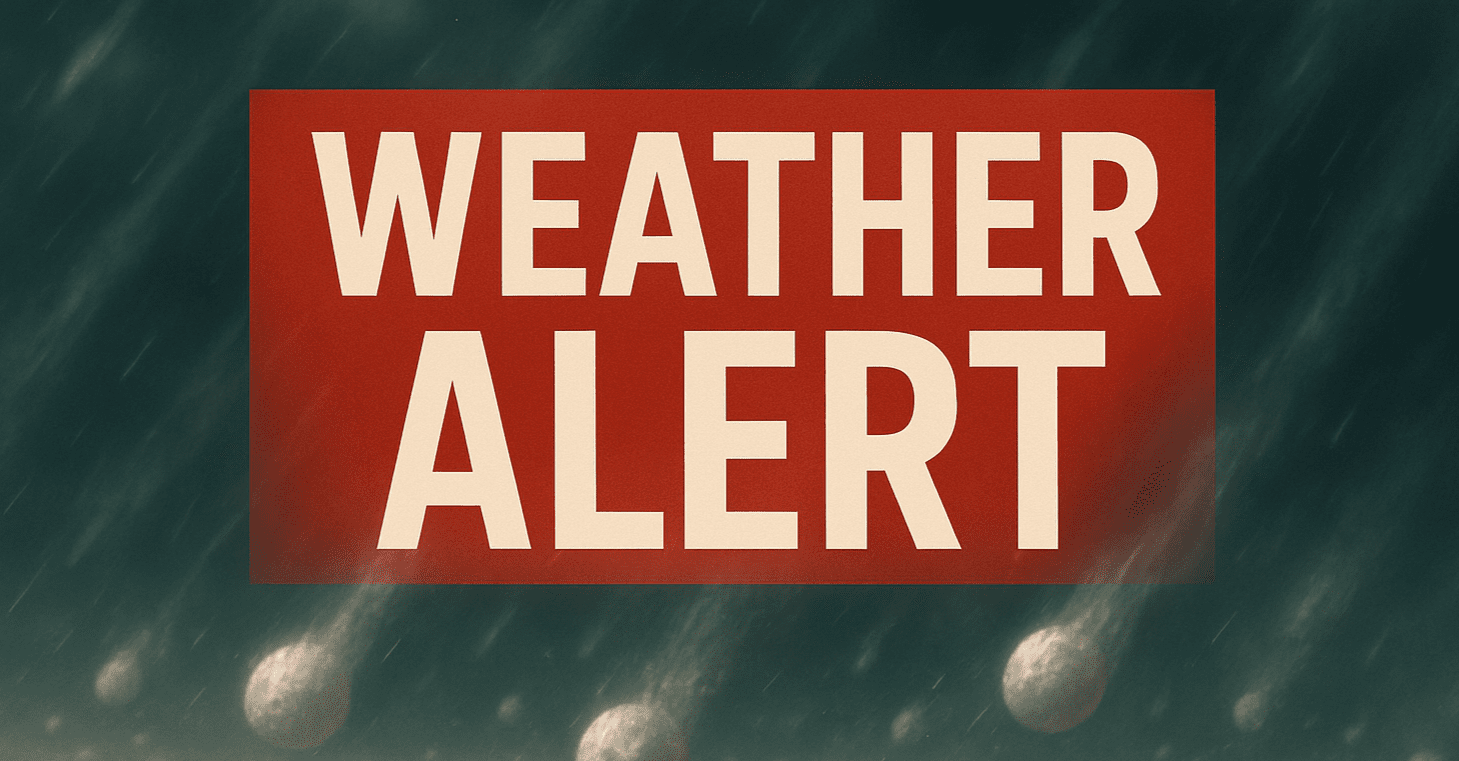
ILLINOIS — The National Weather Service has issued a severe thunderstorm alert for large parts of northern Illinois Friday evening, warning residents to prepare for damaging wind gusts, downpours, and hail as a fast-moving system crosses the region.
The strongest storms are expected between 4:00 p.m. and 9:00 p.m., with areas east of Interstate 39 most at risk — including Chicago, Rockford, and Joliet.
Key Hazards and Locations
The storm system could bring:
- Wind gusts exceeding 60 mph
- Lightning strikes
- Short-duration downpours
- Isolated hail
Specific counties affected include:
- Cook
- DuPage
- Lake
- McHenry
- Will
Heavily traveled corridors like I-55, I-90, and U.S. 30 may see temporary disruptions or delays due to storm activity.
Preparedness Recommended
Officials advise residents to:
- Charge cellphones and devices in advance
- Delay unnecessary travel during the storm window
- Monitor multiple sources for alerts, including the NOAA Weather Radio and official emergency notifications
The storms are expected to clear the region by late evening, but brief localized flooding and travel hazards may linger into the night.
Keeping Families Safe During Summer Storm Season
Weather experts remind families across Illinois that even brief storm cells can disrupt plans, especially when coupled with high winds and hail. Outdoor events, road trips, and backyard activities should be rescheduled or adapted to reduce exposure.
Have you prepared your home for sudden weather changes this season? What’s your go-to safety plan during Midwest storm alerts? Let us know in the comments.